Vodafone has presented a pioneering solution to optimise the management of urban green spaces using geospatial technology and Artificial Intelligence at this year´s MWC 2023. The Internet of Things (IoT) project has been promoted by Ingesan, the leading subsidiary of the Services business division of the global infrastructure group OHLA, and has also counted on the collaboration of GeoAIT, a company specialized in geospatial technology and Artificial Intelligence. The satellite photography is provided by the leading American company in the sector, Maxar, which owns and operates the most sophisticated constellation of Earth images in orbit, collecting more than 3.8 million square kilometres of high-resolution satellite images every day.
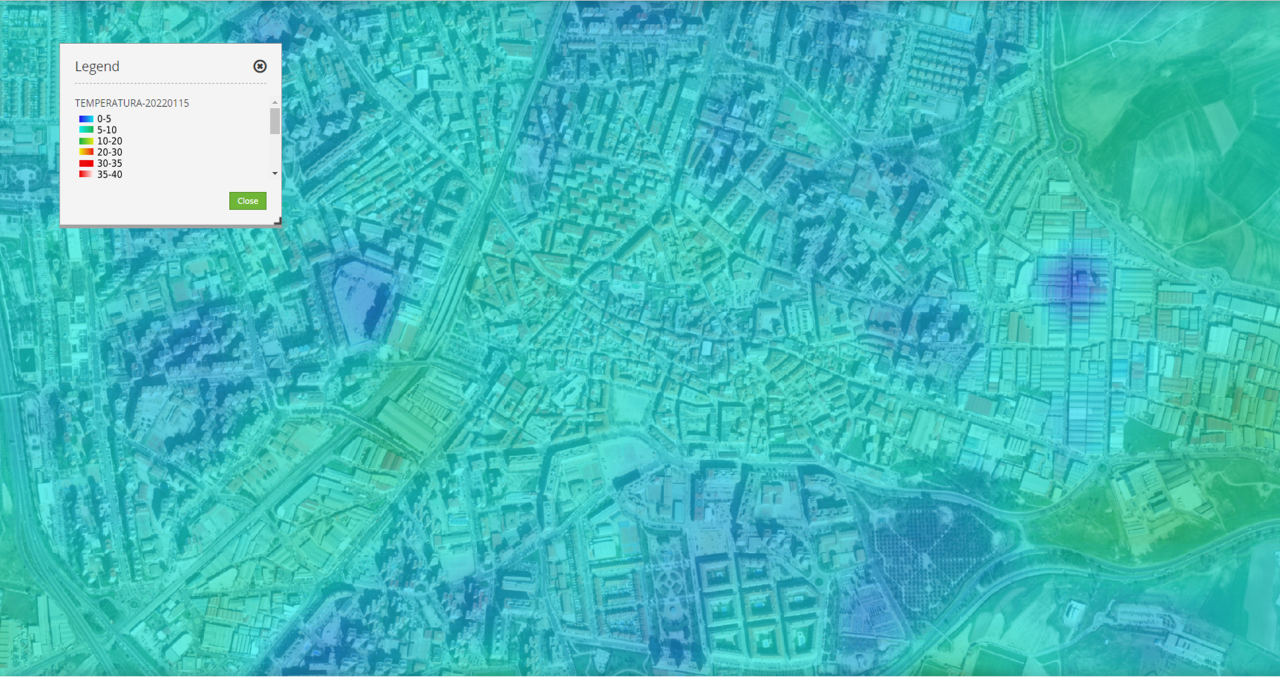
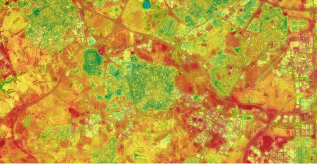
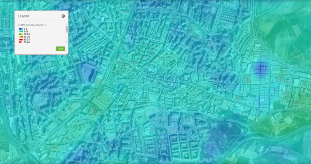
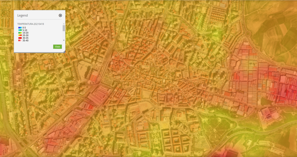
Thanks to the accuracy of its surface temperature estimation models, VerSat makes it possible to identify the existence of urban heat islands and design specific actions.
Utilizamos cookies propias y de terceros para mejorar nuestros servicios y mostrarle publicidad relacionada con sus preferencias media. Puede cambiar la configuración u obtener más información en nuestra "Política de Cookies".
This website uses cookies to improve your experience while you navigate through the website. Out of these, the cookies that are categorized as necessary are stored on your browser as they are essential for the working of basic functionalities of the website. We also use third-party cookies that help us analyze and understand how you use this website. These cookies will be stored in your browser only with your consent. You also have the option to opt-out of these cookies. But opting out of some of these cookies may affect your browsing experience.